
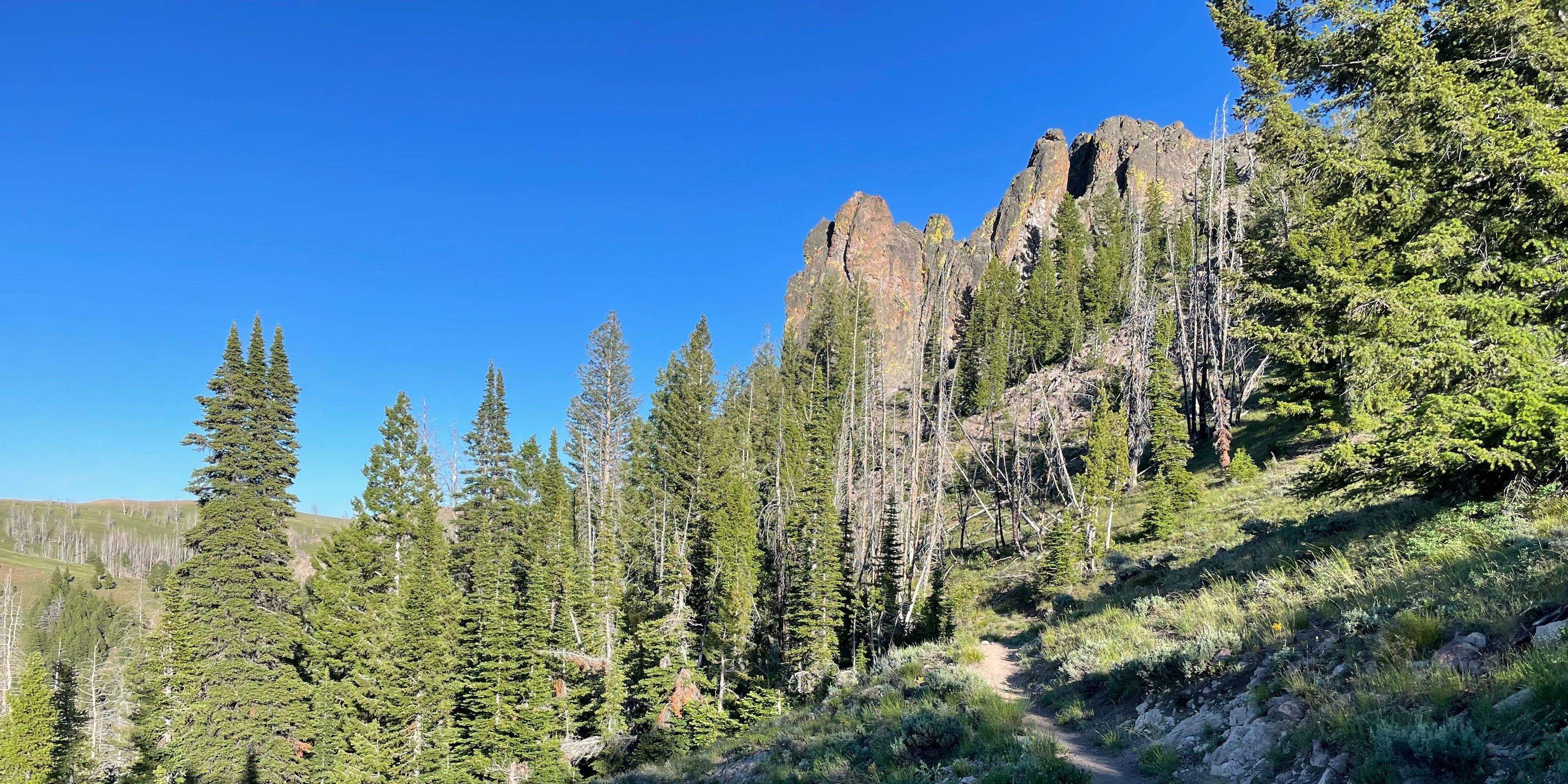
Trails are open and clear.
Forest Service reports a sheep band is grazing down from Warfield and near Warm Springs Road. They will graze up Castle creek over the next week. (Trail 141)
Forest Service reports a sheep band is in the Castle Creek drainage. They will trail up the drainage and graze into Placer Creek. (Trails 141 & 147)
August 20, Forest Service reports a sheep band is in the Castle Creek drainage. They will trail northeast.
Seasonal eBike and moto closures are in place until May 1, 2027 on the following trails: Adam's Rib #142 (partial), Castle Creek #140, Placer Creek #141, Rooks Creek #145, Barr Gulch #168, Fox Peak Connector #938, Oregon Gulch #183, Osberg #147, Big Peak/East Fork Peak #076
Forest Service reports a sheep band is near Barr Gulch. They will graze east towards Thompson/Rooks Creek. (Trail 168)
Warm Springs
| Open | ABC | |||||||
|---|---|---|---|---|---|---|---|---|
Barr Gulch Trail #168 3.86mi | ||||||||
Castle Rock Trail #140 7.38mi | ||||||||
Dollarhide Summit 995 1.92mi | ||||||||
Meadow Creek Trail #302 4.22mi | ||||||||
Middle Fork - South Fork Trail #199 6.98mi | ||||||||
Middle Fork Warm Springs 150 6.04mi | ||||||||
Placer Creek Trail #141 3.87mi | ||||||||
Red Rocks Trail #975 2.19mi | ||||||||
Red Warrior - Warfield Connector Trail #120 1.33mi | ||||||||
Red Warrior Tr. No. 152 7.73mi | ||||||||
Rooks Creek Trail #145 5.93mi | ||||||||
Rough Canyon Trail #973 3.17mi | ||||||||
Wanderer's Way - Heidelberg Hill Trail 1.03mi | ||||||||
Warfield - South Fork Trail #151 8.59mi | ||||||||
Warm Spring Road 19.76mi | ||||||||
Warm Springs Driveway 084 5.92mi |